


Using Meshlab to display 3D map outputs in the Contour Aerial website.
Download Meshlab here: http://www.meshlab.net/#download
Meshlab documentation - no prescriptive documentation, just browse through the site: http://www.meshlab.net
If we can get this to work on the website, it may be better than using Cesium Ion....
There is a Javascript version for a web browser, but Im not too familiar with this yet..... try it by using this link: http://www.meshlabjs.net/
MeshLab is an Open Source 3D mesh processing software system that is oriented to the management and processing of unstructured large meshes and provides a set of tools for editing, cleaning, healing, inspecting, rendering, and converting these kinds of meshes
After processing in WebODM, or Drone Deploy etc, download the .OBJ files and their associated materials files (.MTL etc)
- in WebODM, these are saved in the "odm_texturing" directory of the zip file
- in Drone Deploy, these are saved in the "???" directory of the downloaded zip file
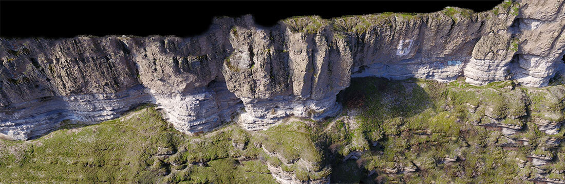
Import the .OBJ file into Meshlab and play around with it.
Sept 2019 - Need to find a way to export this so it can be viewed on the website... shouldn't be too difficult